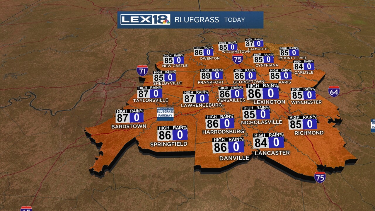
We'll finally see some relief from that extended heat wave, with highs near normal (mid-80s) and plenty of sunshine on Monday. We'll also enjoy less muggy air thanks to a north/northwest wind behind that late weekend cold front. High-pressure slides east Tuesday, and with a southerly wind shift, we'll stay mostly sunny and warm back into the low 90s. Unsettled weather fires up midweek bringing some much-needed rainfall but also the chance for strong storms. Showers and storms will likely develop in multiple rounds, with a warm front/cold front combo passing through Tuesday evening into Wednesday. Highs will stay in the mid-80s midweek and gradually climb into the upper 80s, near 90° to start the weekend.


Posted
and last updated
Copyright 2024 Scripps Media, Inc. All rights reserved. This material may not be published, broadcast, rewritten, or redistributed.


