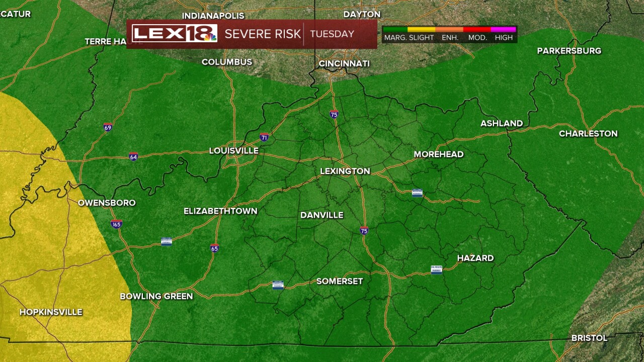
After a round of strong to severe storms overnight we'll catch a brief break Tuesday morning before more active weather fires up later in the day. Stay weather aware! We won't face a significant severe threat Tuesday, but a few storms could produce damaging wind, hail and heavy rain in the afternoon/evening. Areas that were swamped overnight will need to watch for localized flooding if more torrential rain sets up. Our stagnant pattern persists with a daily chance for showers and storms, some strong to severe, Wednesday and Thursday with highs staying in the 80s. High pressure finally takes over Friday and should set us up for a nice summer weekend after a rough work week.
Strong to Severe Storms Again Tuesday
Stagnant, Unsettled Pattern Persists Until Thursday


Posted
and last updated


