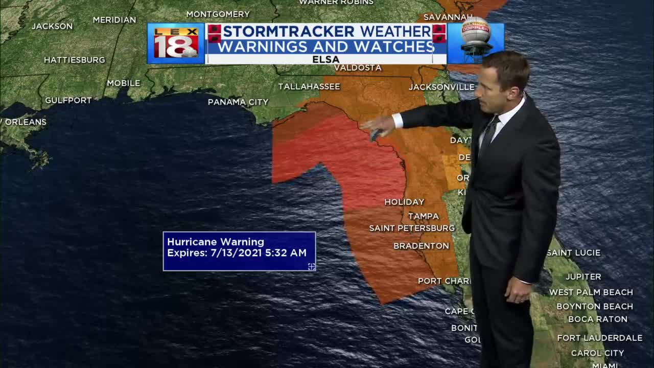
We're getting into a more active phase the rest of the week with a daily chance for scattered showers and storms as a cold front slowly approaches, stalls and lifts north again. The overall severe threat is minimal, but we'll need to watch for slow movers capable of putting down locally heavy rain and brief strong/damaging wind gusts. Expect peak coverage Wednesday and Thursday with another round this weekend. It's also going to stay muggy and warm with consistent highs in the mid to upper 80s and steamy air to go with it.

Wednesday noon forecast


Posted
and last updated
Copyright 2021 Scripps Media, Inc. All rights reserved. This material may not be published, broadcast, rewritten, or redistributed.


