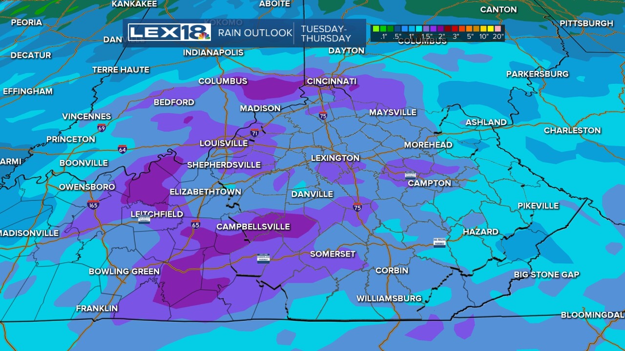
Rounds of showers and strong to severe storms will impact the Commonwealth Tuesday through Thursday morning; stay weather aware! After a fairly quiet Tuesday morning, watch for shower & storm development in the afternoon & evening, especially from the Bluegrass into northern counties. The more significant threat for severe storms will fire up Wednesday afternoon into the evening. All modes of severe storms are possible- tornadoes, large hail, damaging wind, and torrential rain. This has the potential to be a significant severe spring storm event. Know where your safe space is and have a way to receive alerts via watching on-air your smartphone, or NOAA weather radio. Highs will stay above normal, in the low to mid-80s Tuesday and Wednesday, then cool down significantly as we dry out and calm down later in the week.
Severe Storm Threat Rising Midweek
Rounds of Showers and Storms Tuesday through Thursday


Posted
and last updated


