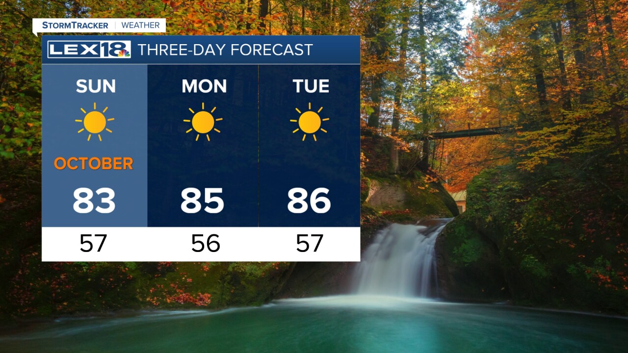
We reached highs in the low 80s here across the Commonwealth today and we have much more of it to come. The rest of the weekend will hold cool nights and hot afternoons. Sunday will be very warm, sunny and dry, and that's the same description for the next several days ahead. The high temperature trend will continue to be much more like July rather than October as we keep in the mid 80s. Tuesday and Wednesday will likely be the warmest days before a cold front begins to shift our way. This cold front will do a couple of things: bring us at least a small chance for rain, but the bigger change will be the major cool-down at the end of the week and next weekend. Autumn may be aloof for now, but the cool, crisp air is only a few days away!

wlex


Posted
and last updated
Copyright 2023 Scripps Media, Inc. All rights reserved. This material may not be published, broadcast, rewritten, or redistributed.


