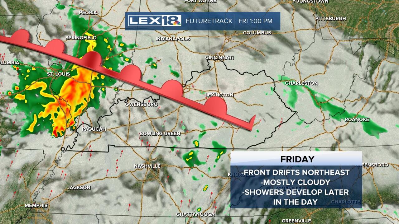
After a frosty late April morning, high pressure takes over Wednesday and we're in for a sunny, dry and cool afternoon. A continued northwest breeze will keep highs below average, in the low to mid 60s. A cold front will back into the Commonwealth Thursday bumping up cloud cover (partly sunny skies) and keeping highs in check, around 60°. As it drifts northeast Friday as a warm front, we'll end up mostly cloudy and will have a few showers developing to start the weekend, especially later in the day. This weekend is trending warmer but also unsettled with a rising chance for showers and storms the later in the weekend you go.
Frosty Early, Sunny Later Wednesday
Trending Warmer but Unsettled this Weekend


Posted
and last updated
Copyright 2022 Scripps Media, Inc. All rights reserved. This material may not be published, broadcast, rewritten, or redistributed.


