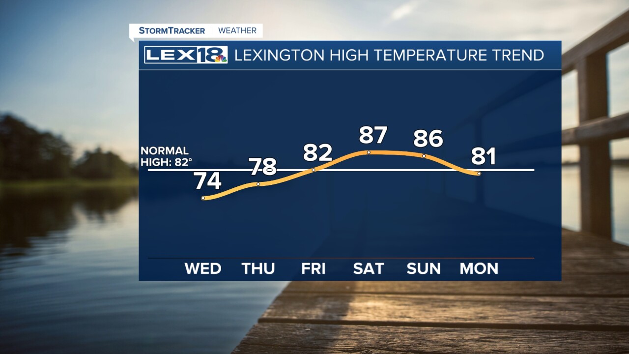
It'll barely ding our rainfall deficit and certainly won't turn our developing drought around, but we'll take what we can get! Widespread morning showers will gradually fade southeast with a cold front Wednesday afternoon. It's been well over a week since we've seen rain, watch for wet, slick roads, especially during the morning commute. A few rumbles of thunder are possible, and a decent shot of rain will put down around 0.25" to 0.5" for most with isolated higher totals. Expect highs in the 70s in the Bluegrass but running cooler (60s) southeast where the clouds and rain will hang on later in the day.
Finally, a Round of Rain Midweek
Below Normal Highs for a Couple of Days


Posted
and last updated
Copyright 2023 Scripps Media, Inc. All rights reserved. This material may not be published, broadcast, rewritten, or redistributed.


