Fall, late fall at that, is here to stay. The pipeline to Canada is open. With each disturbance chillier and chillier air will stream into the Bluegrass. The start of this week will feature the next push of cooler air.
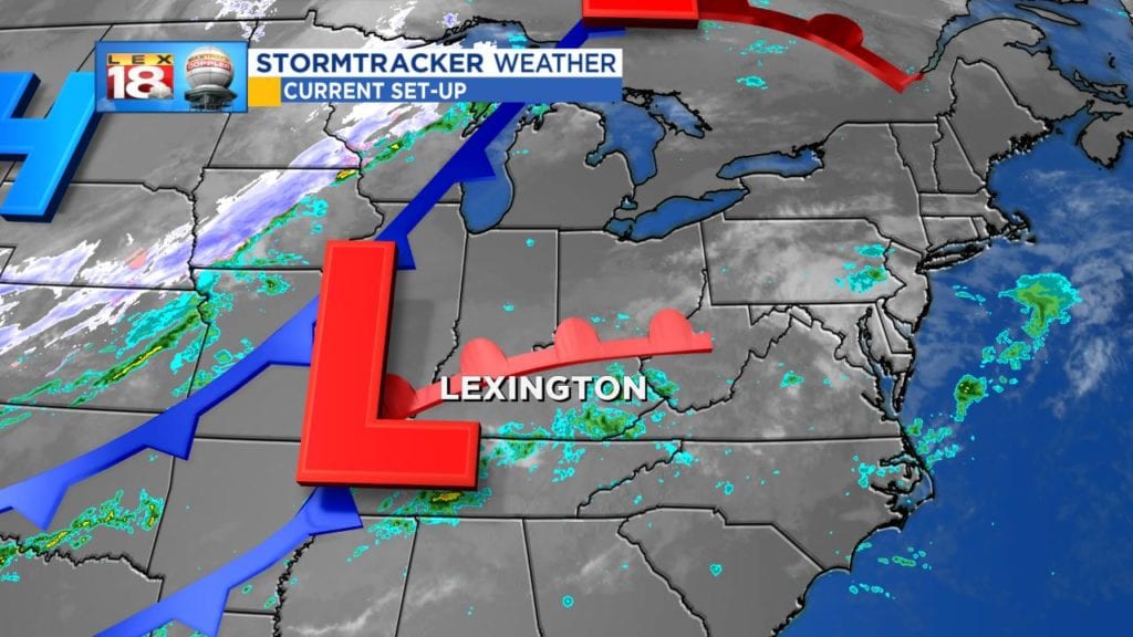
Monday’s set-up will be an interesting one, meteorologically speaking. The remnants of Hurricane Sergio from the Pacific and a mighty cold front will merge across the Ohio Valley. The southern system – the low that was previously Sergio – will continue to send showers north Sunday night. The cold front also has isn’t own moisture supply. The widespread light rain will taper off from west to east Monday evening.

Monday’s rain will generally be light and a nuisance. Enough that you’ll need an umbrella and your windshield wipers, but not really heavy. Up to a half inch of rain will be possible through Monday evening.

This cold front won’t just bring showers, but also a drop in temperature. In fact, temperatures will fall through the day as the front slices through central Kentucky. Tomorrow won’t have a diurnal temperature trend; cooler in the morning with a warmer afternoon. The warmest part of the day will be when you step outside in the morning with temperatures in the low 60s. The mercury will hold steady, maybe drop a degree through lunchtime. Then the cooler air rushes in. It will be ten to fifteen degrees colder by the evening commute. Temperatures will continue to drop overnight.
This won’t be the case for southeastern Kentucky. Y’all will have time to warm through the afternoon before the front arrives in the evening. Temperatures will rise into upper 60s to near 70° ahead of the front before crashing overnight.

If you didn’t turn your furnace on this weekend (I know I’m not happy about it either), you might want to think about it this week. We are tracking temperatures to remain below-normal all week. Tuesday is going to be another “raw” day which will be spent mostly in the 40s. Along with brisk afternoons, there are more cold nights ahead.

Cloud cover will spare us Monday and Tuesday night, but Wednesday night we won’t be so lucky. Clear skies will allow temperatures to dive into “frost threshold.” Frost develops when temperatures are between 36 and 32 degrees. This first fall frost is pretty punctual for Lexington. The average first low below 36° occurs on October 14th (today). Some outlying areas may even see a freeze by Thursday morning. Another frost potential will come the following night.
Just looking ahead, this trend doesn’t look to change through the end of the month. Model trends will temperatures below-normal for the long haul. It’s time to embrace fall.
