This year’s tropical season has been unusual to date. It got off to a very quick start in May with the heavy rain making storm Alberto hitting the Gulf Coast states and even bringing rain to us. Early July saw what may have been one of the smallest hurricanes ever, I mean Steve Martin let’s get small…small (and who gets that reference? BTW, I have the actual original album…Google it kids), Beryl. Hurricane Chris, and tropical storms Debby and Ernesto were all fish storms that formed far to the north in the mid Atlantic Ocean.
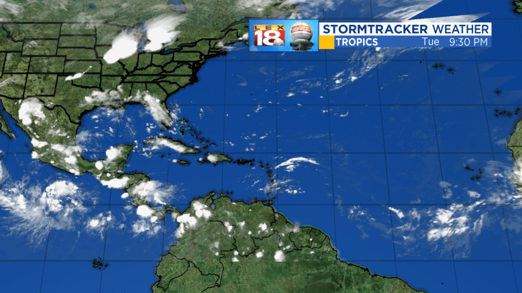
Even tonight, the tropical Atlantic is deathly quiet. A persistent flow of dry air off the Sahara Desert has kept the primary development region between the Caribbean and Africa tranquil.

Although hurricane season runs from June 1 to November 30, the end of August to the middle of October is considered to be prime time. Right on schedule the tropical Atlantic may be heating up, at least in the world of the computer models. Meteorologically conditions are also becoming more favorable. The Saharan Dust Layer has eased off allowing waves to begin to come off of Africa. Also, sea surface temperatures have finally rebounded back to about normal after being very cool for most of the summer. We’re beginning to prime the pump.
Computer modelling is picking up this increasing potential as well. This is an animation of the European Model for the next week, ending next Wednesday, September 5.
The first action is Sunday with a wave developing in the Bahamas to the southeast of Florida. The wave scoots across southern Florida and the model shows it intensifying in the Gulf of Mexico with a menacing look from Louisiana to Alabama. The second wave comes off Africa late this week and shows a nice circulation in the model. Its destiny may end up in the open waters of the middle of the ocean. There is one final wave that comes off of Africa early next week, and this looks to be the strongest of the bunch. At that distance, if…IF…it can make the trip across it’s 10-14 days or so before it’s of concern for us.
The bottom line is by this time next week we may have Florence, Gordon and Helene. Climatologically we’re in the favored time of year, so the action should heat up. Quiet can’t last forever.
Before all this happens, we’ll have lots of time to put the pieces together and get you the information you need. You may be relaxing Labor Day weekend, but meteorologists along the coasts may be looking at a lot of stressful days.
Until then, all the best!
Bill


